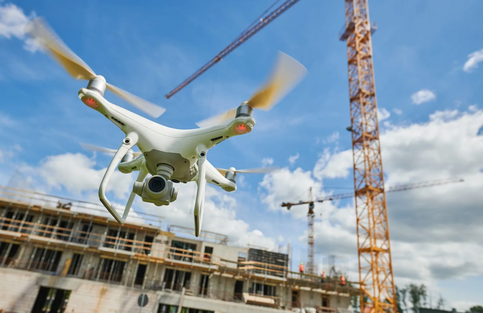
Drone Commercial Roof Inspection in Santa Maria, CA
Map the visible roof condition
Share the property boundary, access rules and decision the images should support. We will confirm permissions, capture the agreed zones, and identify where a hands-on inspection is still needed.
Request a roof assessment or call 555-555-5555.
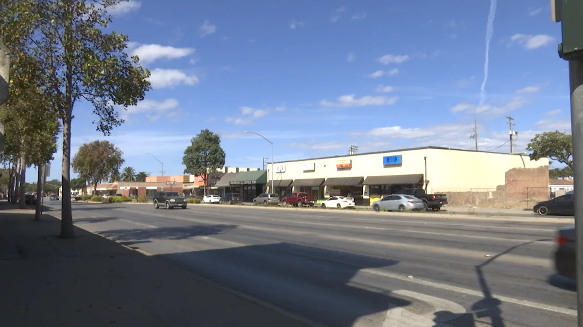
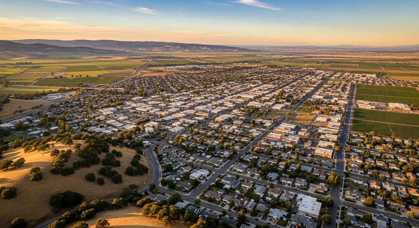
A lifted seam beside a drain edge gives the camera a reference on its first pass; rooftop equipment shadows can require a second angle. The images cannot confirm adhesion, moisture inside an assembly or deck soundness. They document the surface and guide a field visit, where a technician can check seams, attachment and concealed layers directly.
In Santa Maria, the report labels roof zones, camera views and observations so a property manager can match a suspected issue with a field check. The image set supports inspection planning; it does not replace safe access, material identification or close examination of a seam before repair or pricing today.
Flight plan: agree the capture path
Before launch, we confirm property permission, takeoff and landing area, wind and visibility, nearby occupants, and any site-specific flight restrictions. Santa Maria Airport Business Park includes airport-service uses and light-industrial parcels with direct access to airport aprons. That context means a flight near aviation uses needs careful coordination and lawful authorization before any equipment is deployed.
It does not tell us the rules for an individual parcel. We check the actual location, boundaries and required approvals, then choose a capture path that protects people and operations on the ground. Image resolution and flight height are selected for the detail under review. A broad overview may locate standing water or material displacement, while a close image can show a visibly lifted seam or debris packed around a drain.
We avoid flying over people or staging where a dropped component could strike an occupied area. The manager identifies the property boundary and operating schedule, and we document the approved path. If the property is near an airport or other controlled airspace, we resolve permission before booking the crew, not on the day of capture.
Operations: coordinate with the property
Santa Maria Airport Business Park is planned for laboratory, office and specialized manufacturing activity; Area 9 has manufacturing and commercial designations. These are land-use descriptions, not proof that a specific building has a particular roof or operation. Planning categories can inform access conversations, but they do not verify a site's present activity or roof assembly.
For an occupied property, the manager identifies sensitive production, tenant schedules, roof access points and any restricted views. We keep the drone outside active work zones and agree who may see the images. A roof inspection in the Airport Business Park area still begins with property-specific permission and a clear scope.
Limits: images show surfaces, not layers
Aerial views can reveal standing water, debris, displaced equipment covers, visible membrane damage, open metal seams or a changed roof layout. They cannot establish that insulation is dry, a membrane lap is bonded, or a deck can carry a new assembly. We label each finding as visible, suspected or unconfirmed.
Where the image suggests a problem, a field inspection from the roof surface checks the detail and any related indoor symptoms. If heat patterns are part of the question, the infrared survey is a separate method with separate limits. Roof color can vary with age, sunlight, repairs and surface coating, so a different shade is not automatically a defect.
We compare images from the same roof plane and use scale references where they help locate a concern. A drone also cannot determine whether a membrane is adhered below a lap or whether moisture sits under a cover board. We label those questions separately from what the camera recorded. If a manager needs a repair price, we plan a physical inspection of the detail rather than calculate a scope from pixels alone.
Deliverable: make the image set usable
The final package identifies date, roof zones, camera direction and any area the flight could not safely capture. We select images that support a specific roof decision rather than delivering an unlabeled folder. A manager can use the map to request access at one parapet or compare visible changes at an equipment curb.
U.S. Highway 101 and State Route 135 connect Santa Maria's airport and central districts, but those road connections do not determine roof access or flight permission. We confirm the property entrance and staging point directly. The condition report can store image references with repair observations. Useful imagery should make the next field visit shorter and more precise.
We provide a dated roof overview, selected close images, and a map showing which direction each image faces. The notes identify blocked views, glare, shadows or areas excluded from the flight. We do not present a view as a complete inspection when a unit or parapet hides part of the roof. A manager can add the package to existing roof records and compare it with later captures, provided the same zones and viewing angles are used.
We keep the file names and map labels consistent so a facility manager can hand the record to maintenance or a future estimator. Each image should answer a practical question, such as whether the drain is obscured, where a seam turns at an addition, or which roof zone needs safe access. We flag any view that cannot answer the question instead of presenting one camera angle as a complete roof assessment.
Follow-up: move from view to verification
When an image shows a possible split or lifted edge, we schedule a physical inspection to test material and attachment. If it shows ponding, we check drains, scuppers, slope and outlet condition. If a rooftop unit blocks the camera, the service technician or manager may need to provide safe access before that zone can be assessed.
The next action can be a drainage correction, a perimeter detail review or a system-specific repair. We state what the aerial capture proved visually and what remains not confirmed, so ownership can authorize the correct follow-up. One image may prompt a drain cleaning, while another raises a question about a seam that requires hands-on testing.
We list those next actions by location and urgency, then coordinate roof access with whoever controls the building. For a warehouse roof, loading windows and forklift routes can affect where a ladder or equipment is placed; we confirm the actual site plan rather than assume the property type describes it. The repair visit then addresses only the observed defect and documents the tie-in.
Schedule: choose conditions that protect the capture
Fog, wind, glare and surface reflection can make details hard to interpret. The Santa Maria KSMX station averages 62.4 heavy-fog days each year across its 42-year record. On the capture date, we assess visibility and conditions before deciding whether images will be useful.
The service plan names the areas, access limits and expected deliverable before launch. If the manager needs a roof report for budgeting, we pair mapped images with a ground-level review and replacement planning only when the visible findings justify that step. The capture itself does not prescribe a replacement. We can reschedule capture when needed.
Commercial Roofing Questions
What can an aerial image establish about concealed insulation?
No. It records visible surfaces and may identify patterns for follow-up. Moisture inside the assembly requires appropriate readings and, when needed, an authorized sample opening.
Will every roof area be photographed?
We capture the accessible and permitted areas in the agreed flight plan. Equipment, obstructions, visibility and safety conditions may leave a zone uncaptured, which the report identifies.
Can drone images replace a roof walk?
They can help map broad conditions and direct attention, but images do not test a seam, deck or concealed layer. We recommend hands-on inspection where the roof decision depends on those details.
What affects the capture schedule?
Property permission, flight authorization, wind, fog, glare, occupants and operating zones. We confirm those conditions before launch and reschedule when the image set would not be reliable.
Related
Plan the next roof visit
Tell us about the building and what you are seeing on the roof. Request a roof assessment and we will set up a time to look at it.